Live ArcGIS layers on your map
Display any ArcGIS layer on the Pioneer map without importing it, and Smart Project Builder now opens Command Center for everyone.
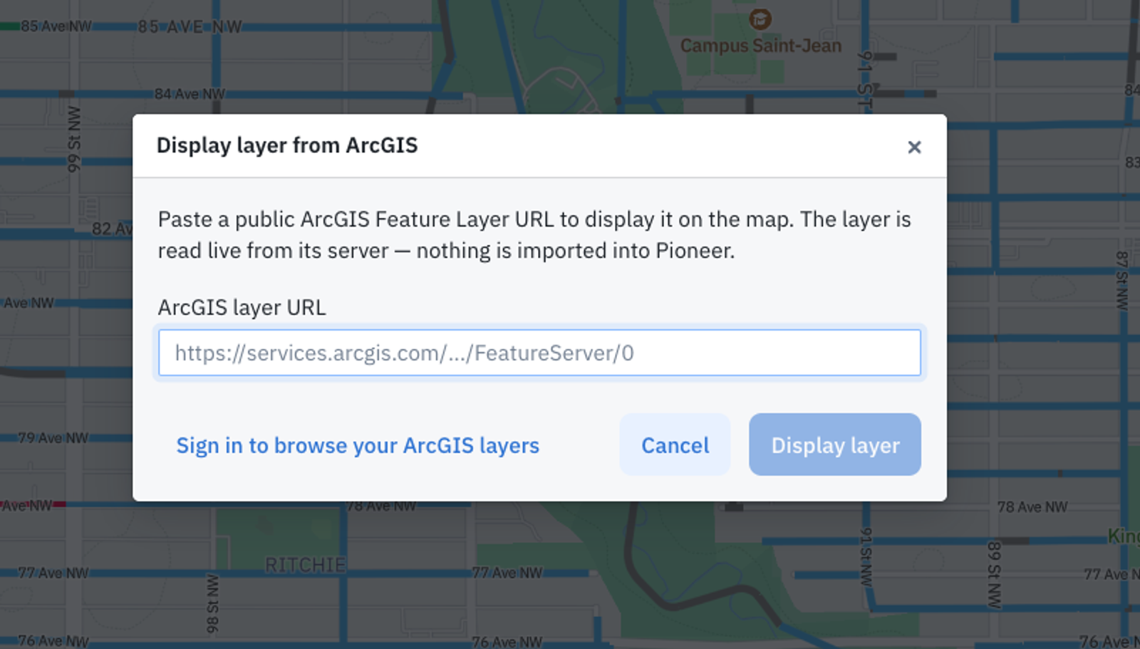
Your GIS team already keeps parcels, storm networks, and service boundaries in ArcGIS. Getting that context onto a Pioneer map meant running an import and copying the data into your account. Now you point Pioneer at the service and the layer draws.
Display a layer straight from ArcGIS
Open the map layers menu and choose Display ArcGIS layer. Browse the ArcGIS organization you connected, or paste a public feature service URL. Pioneer reads the layer from your server each time you open the map and remembers your choice in your browser. Your account gains no assets, no import job runs, and your GIS team keeps one source of truth.
Pioneer reads these layers and does not write back to them, so nothing your crew does on the map changes what your GIS team publishes.
Style the layers you display
Rename a display layer without touching its source. Click the color circle beside the name to pick a new color from the palette. Polygons fill at half transparency so you can read the pipes underneath, points sit above lines, and every display layer sits below the layers you imported. Features carry a grey label drawn from their OBJECTID field.
Smart Project Builder opens Command Center
Every Smart Project Builder entry point now opens Command Center and carries the page you came from with it. Start from Risk & Rehab and the agent begins with your layer and filters in hand instead of an empty prompt. The rollout finished on August 11, so your whole team works in one agent surface rather than choosing between two tools.
Find the chat you ran last week
Command Center history now holds a search box that filters by chat title as you type. Each chat carries a menu to rename, duplicate, or delete it, so a long history stays worth keeping. People who open Command Center for the first time land on a larger chat box.
Improvements6›
- ProjectsSewerSheet exports every row and column to CSV in one action. Teams that feed SewerSheet data into GIS quality control stop rebuilding the view on the Inspections page each time.
- InspectionsRescaling a MACP inspection in the Sewer3D model recalculates cover, pipe connections, and observation distances together, so the measurements in your deliverable agree with each other.
- InspectionsSetting the MACP clock position with Set 6:00 now updates observation Clock From and Clock To along with the connection positions.
- InspectionsText fields such as Remarks wait for you to stop typing before offering suggestions, so the list no longer fills with half-typed entries.
- Risk & RehabThe Risk & Rehab map legend starts closed, which gives the map more room when you open a new session.
- PioneerThe Command Center caution levels dialog has explicit Save and Cancel buttons, so you can back out of a change you started.
Fixes6›
- ReportsThe Ratings page shows 0 rather than NaN in Frequency of Condition Grades when an inspection carries no observations.
- InspectionsPanoramic inspections show one 360 Video toggle in the review toolbar instead of two.
- InspectionsVideo recorded at frame rates other than 30 FPS now lines up observation timestamps with the stored values, and existing inspections on affected accounts were corrected.
- InspectionsDuplicate completed inspections no longer inflate the counts an account is billed against.
- ProjectsUnchecking a tag re-enables the Apply button, so you can remove tags from an inspection again.
- ProjectsThe tag manager centers its loading state inside the popover.
Integrations3›
- IntegrationsA Cityworks TV sync recovers when the linked Cityworks record was deleted on the Cityworks side. The inspection used to retry for twenty minutes and then sit unsynced with no explanation.
- IntegrationsThe Cityworks client sends bearer authentication, which Trimble Unity Maintain tenants require, while classic Cityworks deployments keep working as before.
- IntegrationsUnearth inspection updates wait for you to finish editing before they sync, so a partial sentence no longer reaches Unearth mid-keystroke.
Performance3›
- ProjectsPanning and zooming holds up on the largest GIS datasets, which had degraded the map for agencies running hundreds of thousands of assets.
- ProjectsLayer lists open faster. The layer library pages and searches on the server rather than loading every accessible layer at once.
- Risk & RehabDistance and pipe-overlap calculations finish on large, geographically spread layers instead of timing out, so risk scoring stays current for wide service areas.